
Series of Earthquakes Shakes Indonesia’s Flores Region; No Tsunami Threat Issued
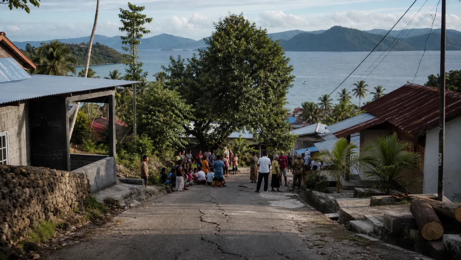
AI generated illustration of an earthquake response in Flores, Indonesia
A series of earthquakes struck Indonesia’s Flores region on August 17, including a magnitude-5.8 event near Mbay. BMKG said the earthquakes did not pose a tsunami threat, and no major casualties or widespread damage were immediately reported.
A series of moderate earthquakes struck waters near Flores in eastern Indonesia on Sunday, with the strongest registering a magnitude of 5.8, according to Indonesia’s Meteorology, Climatology and Geophysics Agency, known as BMKG. The magnitude-5.8 earthquake occurred at 7:46 a.m. Western Indonesian Time. Its epicenter was located about 40 kilometers northeast of Mbay in Nagekeo Regency, East Nusa Tenggara, at a depth of 10 kilometers. BMKG reported that the earthquake did not have the potential to generate a tsunami.
Additional Earthquakes Recorded
Several more earthquakes were recorded in the same general region during the day, including: A magnitude-5.4 earthquake about 46 kilometers northwest of Mbay
A magnitude-5.1 earthquake about 41 kilometers northwest of Mbay. Two magnitude-5.0 earthquakes northeast of Ruteng in Manggarai RegencyA magnitude-4.9 earthquake in waters about 62 kilometers north of Ruteng. The latest magnitude-4.9 event occurred at 8:58 p.m. local time at a depth of 10 kilometers. BMKG said shaking reached Level III on Indonesia’s Modified Mercalli Intensity scale in Manggarai, meaning it may have been felt indoors by some residents. The agency’s earthquake records identified no tsunami potential from the magnitude-5 or greater events in the sequence.
Residents Urged to Remain Alert
No official reports of major casualties or widespread structural damage had been released at the time of publication. Residents in affected areas should remain alert for additional earthquakes and inspect buildings for visible damage before returning to structures that may be unsafe. People near coastal areas should follow only official tsunami and evacuation instructions issued by BMKG or local disaster-management authorities. Indonesia experiences frequent earthquakes because it lies along several active tectonic boundaries within the Pacific Ring of Fire. Communities across the country regularly face risks from earthquakes, volcanic eruptions and tsunamis. Authorities continue to monitor seismic activity around Flores and neighboring islands.
Topics
Source: BMKG latest earthquake data, BMKG earthquake information
View original source ↗Editorial Note: Arizona Asians prepared this article using official earthquake information published by Indonesia’s BMKG. Preliminary earthquake measurements and impact assessments may be updated as authorities receive additional data.