
Arizona crews brace for flood watch as storms threaten rain, hail and flash flooding
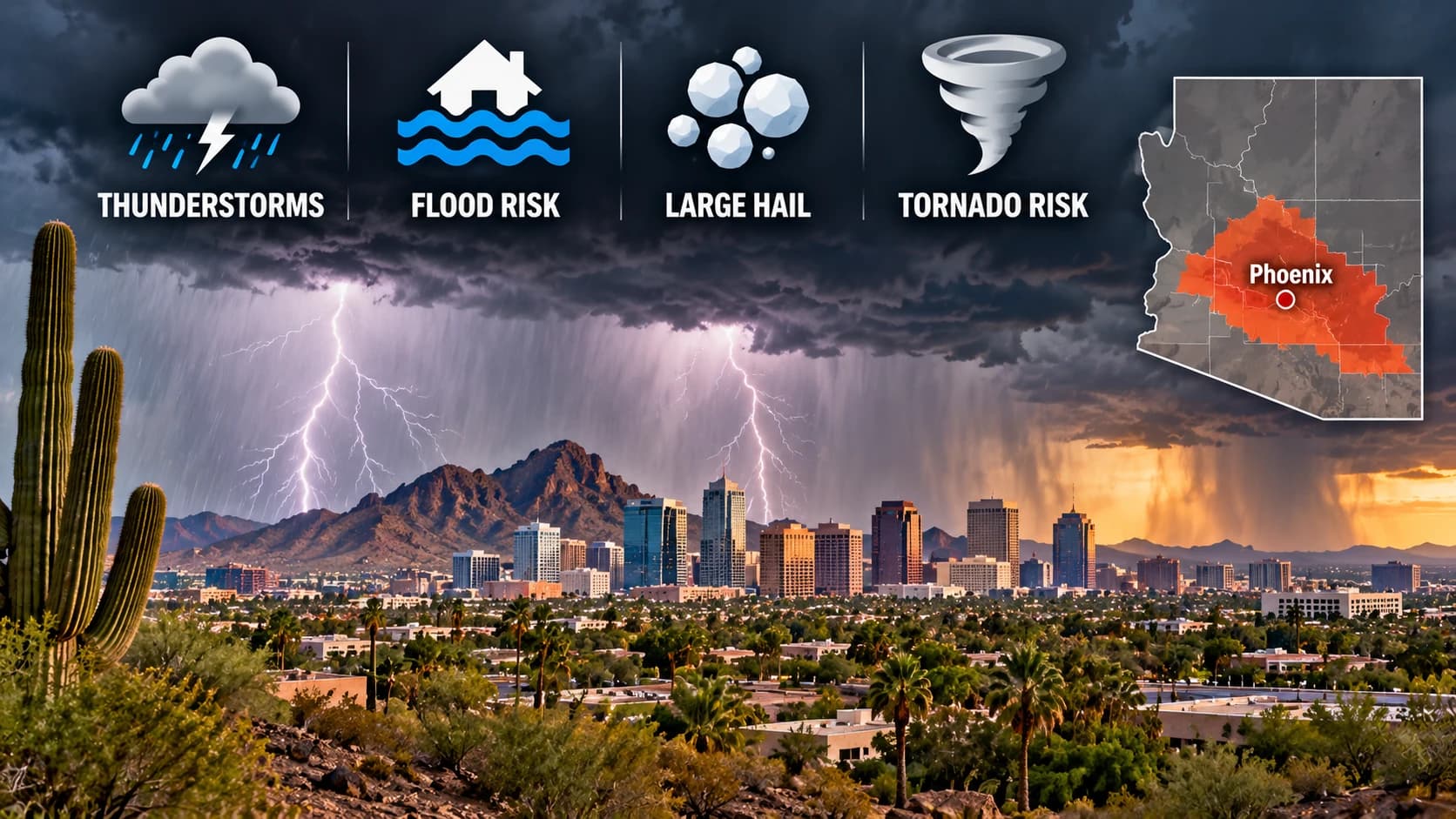
The Phoenix area preparing for thunderstorms Wednesday, with potential risks including flash flooding, large hail and isolated tornadoes.
Photo: Arizona Asians / AI-generated image
A storm system moving into Arizona has prompted flood watches across parts of the state and raised the risk of hail, heavy rain and flash flooding. Forecasters say the strongest impacts are expected Wednesday and Thursday, with some areas facing severe thunderstorms and isolated damaging winds.
Crews across Arizona were preparing Tuesday as a storm system moved into the state, bringing a flood watch, the risk of hail and the possibility of flash flooding in several regions. The National Weather Service said the system could produce periods of moderate to heavy rain, with thunderstorms capable of damaging wind gusts and large hail in some areas. The conditions are expected to matter most for commuters, homeowners and emergency responders across south-central and eastern Arizona.
The flood watch covers much of south-central and eastern Arizona, including parts of the Phoenix area, with forecasters warning that the heaviest rain could arrive Wednesday and continue into Thursday. Weather officials said the storms may not only produce brief downpours, but also torrential rainfall in isolated spots, increasing the chance of street flooding, runoff and rapid rises in washes and low-lying areas.
The National Weather Service in Phoenix said the broader weather pattern is being driven by a Pacific low-pressure system moving toward the Southwest. Forecast discussions said the system would spread moisture across the state and create multiple rounds of showers and thunderstorms, with the strongest weather threat focused east of Phoenix and across higher terrain.
Severe weather concerns extend beyond rain
In addition to flooding, forecasters flagged severe-weather potential for parts of Arizona. The Storm Prediction Center highlighted much of the higher terrain east of Phoenix in a slight risk for severe weather Wednesday, while a marginal risk extends across the rest of south-central Arizona, including the Phoenix metro area. The weather service said storms could bring damaging wind gusts, large hail and, in isolated cases, a tornado.
The flood watch is expected to remain in effect through Thursday evening in some areas, with rain chances tapering from west to east late Thursday and into Friday. Weather officials said the timing of the system means the greatest impacts could line up with midweek travel and outdoor activity, especially where drainage is limited or storms move over the same area more than once.
Although the strongest rain and severe weather are not expected to hit every community, officials are urging residents to watch for changing conditions as the system develops. In the desert Southwest, even short bursts of heavy rainfall can create hazardous driving conditions quickly, particularly on roads that flood easily or in places where storm runoff collects.
Topics
Source: National Weather Service
View original source ↗