
Isaias brings flash flood, wind and tornado threats inland across the Southeast
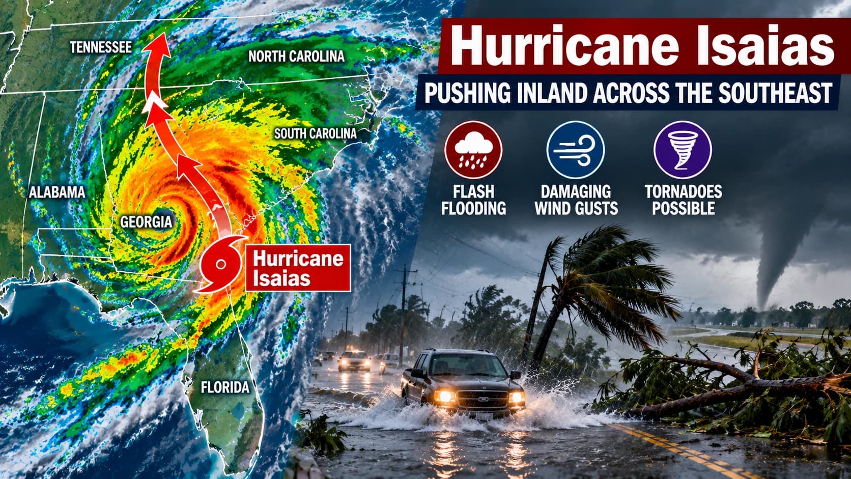
Hurricane Isaias pushing inland across the Southeast as forecasters warn of flash flooding, damaging wind gusts and possible tornadoes extending well beyond the coast.
Photo: Arizona Asians / AI-generated image
Hurricane Isaias is pushing inland across the Southeast with a continuing risk of flash flooding, damaging wind gusts and tornadoes. Forecasters say the storm’s hazards will extend far beyond the coast through Sunday, affecting communities from Alabama into Georgia and other parts of the region.
Hurricane Isaias is now well inland over the Southeast, but forecasters say the storm remains dangerous as it spreads heavy rain, strong wind gusts and a continuing tornado threat across parts of the South and East through Sunday. The National Hurricane Center and Weather.com both warned that the most serious impacts are shifting away from the coast and deeper into inland communities.
The threat covers a broad swath of the region, including areas in Alabama, Georgia and the broader Southeast that could see flash flooding, power disruptions and severe weather as Isaias weakens but continues moving through the interior. Weather.com said residents should monitor local watches and warnings, while the National Weather Service in Mobile, Alabama, reported that tropical-storm-force winds were expected to spread well inland.
Flooding and tornado risk spread inland
Forecasts from the Weather Channel’s storm team said flash flooding remains one of the main hazards as rain bands move onshore and continue inland. The outlet said the storm’s inland remnant could bring rainfall flooding, strong winds and storm surge near the coast, with the flood risk stretching into the Appalachians, Ohio Valley and mid-Atlantic as the system loses strength.
The National Weather Service office in Mobile said localized rainfall totals of 10 to 15 inches were possible in bands across the affected area, with some rivers forecast to reach flood stage. Weather.com also said tornadoes can develop in outer rain bands before landfall and again after landfall, a pattern that can persist as a hurricane weakens and tracks inland.
By Saturday morning, Isaias had weakened to a post-tropical cyclone, but the storm was still producing hazardous weather, according to the Associated Press and National Hurricane Center updates cited in weather reports. Forecasters said the center of the system remained over the Southeast, with conditions still favorable for flash flooding and isolated tornadoes.
The storm has already prompted warnings, watches and local emergency preparations across the Gulf Coast and Southeast. As the system moves farther inland, officials and forecasters say the main concern is no longer just the coastline but the communities that can be hit by flooding rain and damaging winds far from where the storm made landfall.
Topics
Source: Weather.com
View original source ↗